
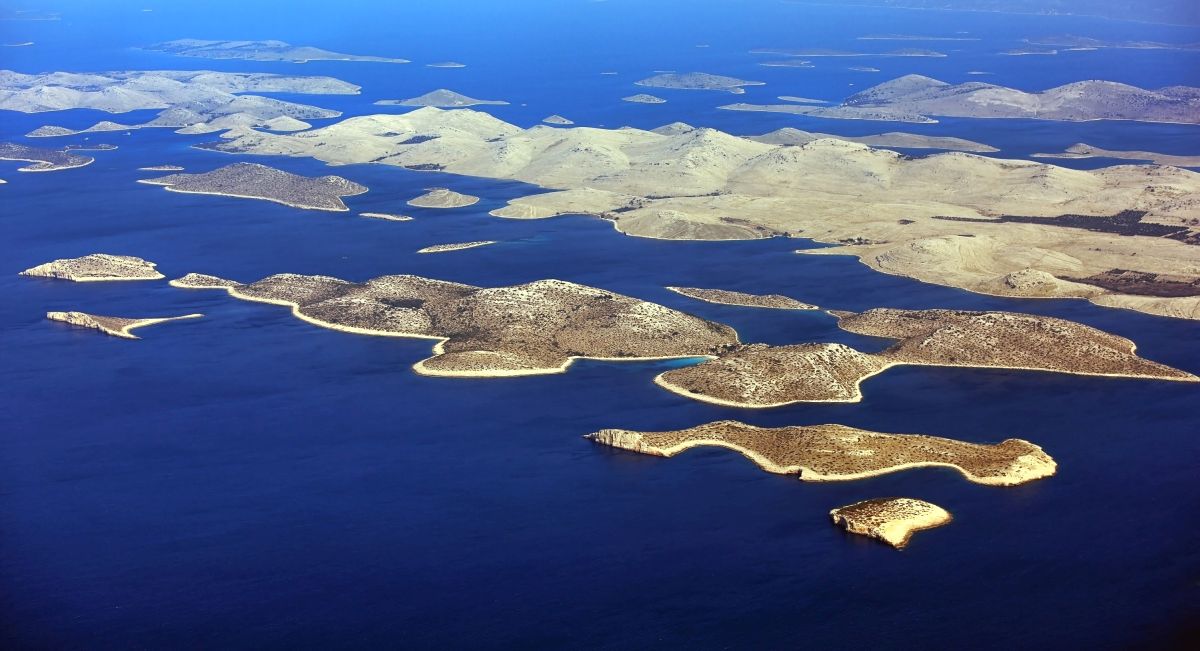
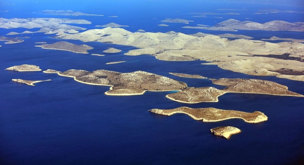
Kornati Islands Croatia
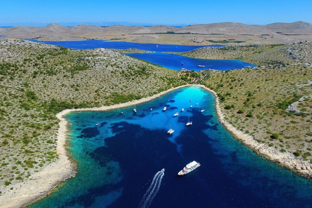
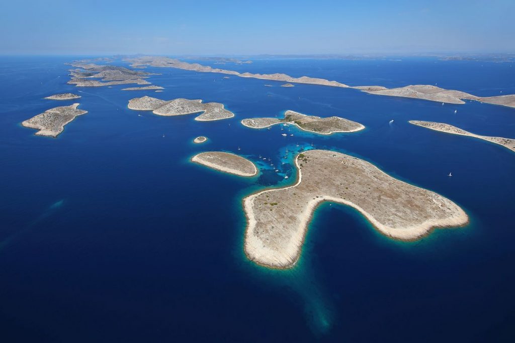
This group of islands represents the densest archipelago in the Mediterranean. It is located between Šibenik and Zadar, covers an area of about 320 km2, and makes up 12% of all the islands in the Croatian Adriatic.
The biggest island is Kornat and the whole archipelago was named after it. This archipelago is 70 nm long, and 18,8 nm wide and there are four island chains divided into two groups. Upper Kornati (Sit and Žut island chains) with 51 land units, and the other one is Lower Kornati with 98 land units. The national park covers the biggest part of the Kornati archipelago.
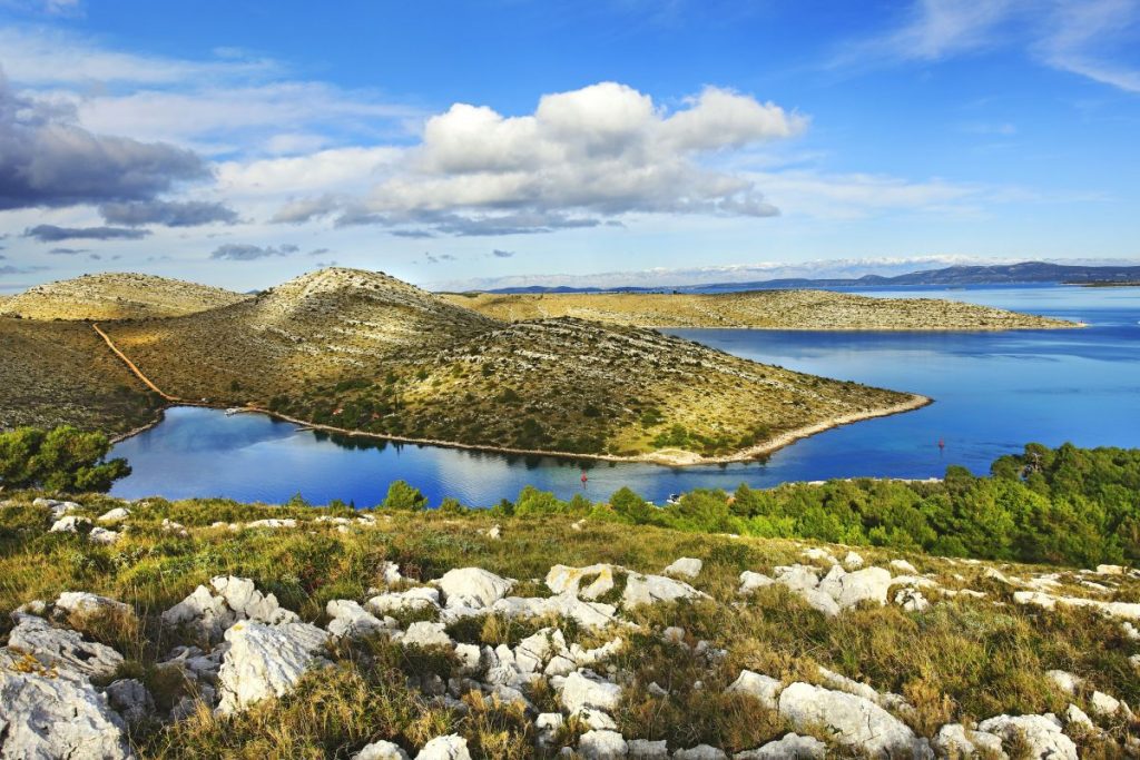


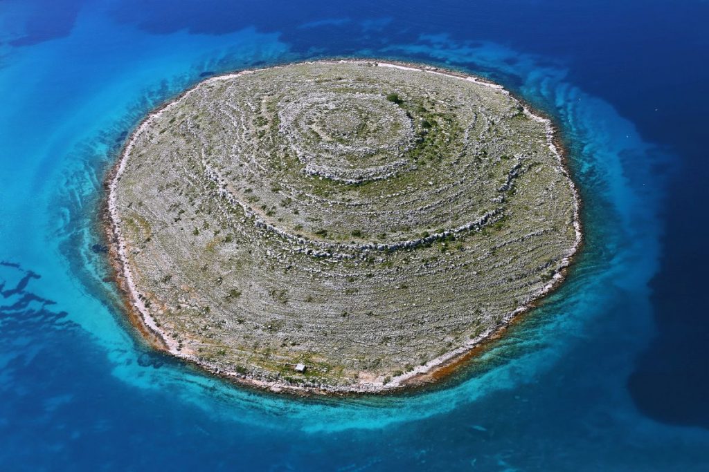
Most of the outer islands have high cliffs facing the open sea. These rock faces are the result of the fracturing and faulting of the Earth’s crust. Also, the erosion process has adorned these massive surfaces. In some places in the Kornati archipelago, underwater cliffs drop down vertically for almost a hundred meters (on the islands of Piškera and Rašip). The highest cliff is the one on the island of Klobučar (82 m), and the longest (above sea level) on the island of Mana (1350 m).
Take a look at our article Carved by the elements and find out more about these fascinating rock faces.

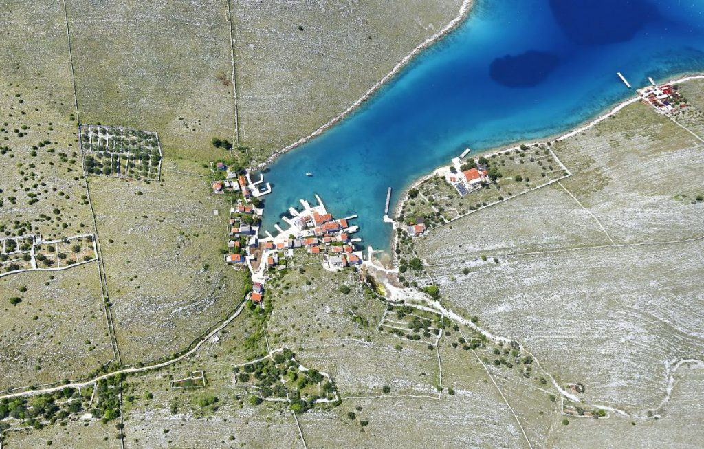
The Kornati is accessible only by watercraft. Distance from the mainland is roughly 7 nautical miles from the island of Murter, and 15 nautical miles from Šibenik and Zadar. Furthermore, Kornati National Park has two official entrances: from the north at the Velika Proversa strait, and from the south at Vrata od Opata.
There are two marinas in the Kornati archipelago – one in Kornati National Park (ACI Marina Piškera), and the other on the island of Žut (ACI Marina Žut).
The nearest outpatient clinics for medical assistance are located in Sali (on the island of Dugi Otok), Murter, and Tisno, and the nearest hospitals are in Biograd, Šibenik, and Zadar. The nearest medical institution providing assistance to divers is located in Split.
There are no fuelling stations in the Park area.
There is also no running water or electrical energy supply in National Park. Solar panels and generators secure the electrical energy, cisterns gather water (rainfall). For those with greater needs – water carriers transport larger amounts of water.
The area of Kornati National Park and the other parts of the archipelago have poor mobile network signal coverage.
In the Kornati archipelago area, there are sanitary facilities only within restaurants.
The entire land area of Kornati National Park is in private ownership, except for the coastal zone that represents the maritime domain. Hence, visitors can to walk only along the paths and trails specially marked for this purpose.
Kornati National park in numbers:
- number of islands = 89
- park area = 217 km2
- land area = 50 km2
- sea area = 167 km2
- length of coast = 238 km
- highest point = 237 m (Metlina on Kornat)
- lowest point = 125 m (edge of the Park SE of Purara)
- tallest cliff = 82 m (Kolobučar)
- longest cliff on one island = 1.530 m (Mana)
- deepest cliff (under the sea) = 92 m (Piškera)
- total length of cliffs = 12 km
- average low = 8°C (February)
- average high = 25°C (August)
- sunshine hours annually = 2.700
- total length of dry stone walls = 330 km
For all relevant informations about Kornati National Park please take a look at their official web site: https://www.np-kornati.hr/en/
-

Boris Kačan Photography